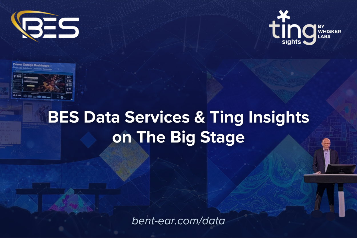

Harnessing Ting Insights and GIS for Smarter Emergency Management
When the power is out, cascading impacts escalate quickly—from disabled communications and inoperable medical equipment, to traffic gridlock and shelter disruptions —power outages are a crisis. Having access to real-time, granular outage data isn’t just helpful to your operation—it’s critical.
What’s in the Data, and Why It Matters
Bent Ear Solutions and Whisker Labs have formed a unique partnership to bring the powerful capabilities of Ting Insights to the geospatial world. Ting draws on decades of electromagnetic and atmospheric sensor expertise to detect electrical faults in homes across the country. The Ting sensor is powered by advanced intelligence to detect the earliest signs of fire risk and power quality problems in a home’s electrical system.
While a single Ting sensor helps protect a home from electrical fires, the network of over 1 million sensors nationwide enables Ting Insights — the most comprehensive source for grid reliability, safety, and resilience intelligence — to provide a precise, national-level, location-specific understanding of power outages and restorations, minute by minute, neighborhood by neighborhood.
Turning Ting Data into Action with GIS
Now geo-enabled by the team at Bent Ear Solutions, Ting Insightscan be integrated with powerful Geographic Information Systems (GIS) platforms deployed in public and private Operations Centers across the country. This integration allows decision-makers and operations personnel to gain a new level of situational awareness—delivering a precise understanding of electrical outage impacts in near real-time. When Ting outage data is integrated into GIS, it becomes more than a list of downed addresses—it becomes actionable intelligence.
Envision a city map overlaid with outage polygons generated from Ting data. Within seconds, an Operations Center can:
Identify neighborhoods experiencing outages.
Determine how many and the types of buildings impacted.
Evaluate instantly how a city’s critical infrastructure – hospitals, nursing homes, communications, and public safety facilities – is impacted.
Analyze the impact on at-risk or vulnerable populations.
The collaboration between Whisker Labs and BES is turning Ting data into a real-time operational picture, helping leaders prioritize response, deploy resources efficiently, and communicate accurately with the public.
Why This Matters More Than Ever
Power quality disruptions are often the signal, not just the symptom—an early indicator that conditions are changing rapidly. Better-informed decisions become possible by capturing this data in real-time.
“ During a disaster, emergency managers can’t afford to wait on bad data. Utility dashboards often fall short—missing updates, failing to provide restoration times, or lacking complete information. Bent Ear Solutions’ application of Ting Insights data helps fix that by building dashboards that deliver accurate, relevant, real-time power outage data you can actually use to make decisions and protect your community.”
Whether it’s a localized incident or a wide-scale storm, having Ting Insights in your GIS toolkit gives emergency managers a precise view of the problem—and a faster path to resolution.
When the power goes out, clarity is the first step toward effective response and recovery. With Ting Insights and geospatial intelligence, that clarity is now within reach. For a detailed look at what this data delivers for EOCs, see street-level power outage data for emergency managers via ArcGIS layers.
See how this data performed during a real event: deploying real-time outage intelligence during Winter Storm Fern.